
Natural Landscape
Mud Volcanoes
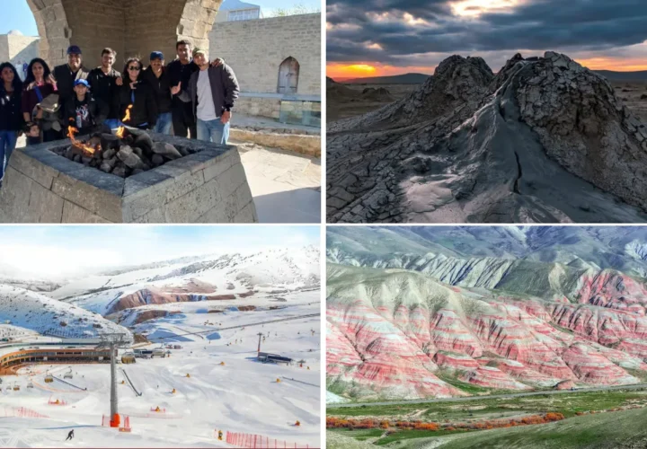
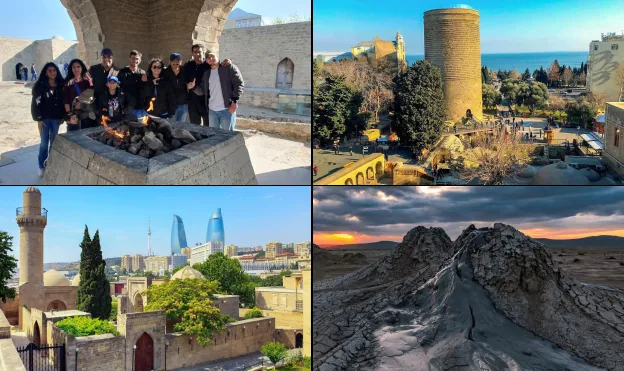
Azerbaijan mud volcanoes form distinctive cones, pools, and cracked grey surfaces created by gases and fine sediments rising through the earth. Many fields lie in the Gobustan region, making them a natural geological companion to the nearby rock art landscape, but access conditions vary and should be checked locally before travel.
Quick Facts
Plan at a glance
- Best Season
- March–May and September–November, preferably in dry weather
- Recommended Duration
- 1–2 hours plus access time
- Distance from Baku
- 70 km
About this place
What a mud volcano is
Mud volcanoes are geological features formed when underground gases and fluids push water, clay and fine sediment toward the surface. They can create small cones, bubbling vents, shallow pools and broad patches of dried mud. Despite the name, the process is not the same as a magma volcano, and the material at the surface is generally much cooler than volcanic lava.
Azerbaijan has an unusually high concentration of these formations, especially around the Caspian basin. That concentration reflects the region’s sedimentary geology and hydrocarbon systems. For travellers, the visual interest comes from texture and process: cracked surfaces, soft grey ridges and occasional bubbles make the terrain look unfamiliar without requiring exaggerated comparisons to another planet.
The Gobustan connection
Several mud-volcano areas are reached from the broader Gobustan region southwest of Baku. They are often combined with the Gobustan Rock Art Cultural Landscape because the two lie in the same general direction, but they represent very different kinds of heritage. The petroglyphs are archaeological evidence of human activity; mud volcanoes are active or dormant geological landforms.
Keeping those stories separate improves a combined day. Spend enough time at the rock art site to understand its cultural chronology, then approach the mud fields as a lesson in earth science and landscape. A guide familiar with local routes can also help distinguish accessible visitor areas from remote or environmentally sensitive ground.
Reading the landscape safely
From a distance, look for clusters of low cones and pale patches that interrupt the drier surrounding terrain. Closer views reveal dried flows, narrow channels and vents where gas or mud may emerge. The ground can be fragile, and apparently firm crust may not support weight near active features, so staying on established approaches and following local guidance is sensible.
Do not touch bubbling vents, climb unstable cones or assume that every field is suitable for casual walking. Mud activity changes naturally, and road approaches can be affected by weather. These conditions are exactly why evergreen travel content should avoid promising access to a particular remote cone at a particular time.
Photography and observation
Wide-angle compositions work well because they show the pattern of cones within the semi-desert setting. For detail images, cracked mud, small rivulets and gas bubbles can communicate the process without requiring people to enter sensitive areas. A low camera angle can emphasize relief, but it should be used only from stable ground.
Colours are often muted: greys, beige earth and pale sky dominate many scenes. That restrained palette is part of the landscape’s character. Stronger images usually rely on texture, scale and natural light rather than heavy editing. After rain, surfaces may look darker and approaches can become more difficult.
When to plan a visit
Spring and autumn are practical seasons because temperatures are generally comfortable for exposed outdoor stops. Dry weather is especially helpful for unpaved approaches. Summer can be hot with little shade, while colder months may bring stronger wind and wetter ground.
A mud-volcano stop can fit into a half-day or full-day Gobustan excursion, but travel time depends on which field is accessible. Build flexibility into the schedule and avoid placing a fixed remote location at the center of a tightly timed itinerary. If local conditions are unsuitable, the rock art landscape remains a complete destination on its own.
Connecting geology with the wider trip
The clearest Explorer relationship is Gobustan, where cultural and geological landscapes sit relatively close but tell different stories. Baku is the usual travel base and offers museum context before or after the excursion. The Absheron Peninsula provides another semi-arid Caspian setting shaped by hydrocarbons, including natural gas seep phenomena at Yanar Dag.
Travellers continuing to Shahdag, Khinalig or Guba will see how dramatically Azerbaijan’s terrain changes from low, dry Caspian landscapes to the Greater Caucasus. Including mud volcanoes in that sequence gives a useful geological contrast and makes the country’s physical diversity easier to understand.
Explore with Alov Travel
Tours for this area
Continue from inspiration to a relevant Azerbaijan experience connected to this place.
Plan the next step
Turn this place into part of your Azerbaijan journey.
Browse relevant experiences or share your dates and priorities with our local team.