
Historical Site
Gobustan
Gobustan Azerbaijan is a cultural landscape of rock shelters, carved images, archaeological traces, and dry plateau scenery southwest of Baku. This guide focuses on the UNESCO-listed rock art area, what the landscape reveals about long-term human presence, and how to plan a thoughtful visit without relying on time-sensitive access details.
Quick Facts
Plan at a glance
- Best Season
- March–May and September–November
- Recommended Duration
- Half day
- Distance from Baku
- 65 km
About this place
A landscape shaped by people and geology
Gobustan is a rocky, semi-arid landscape southwest of Baku where low hills and large limestone blocks preserve evidence of human activity across a very long period. Its value is not limited to individual carvings. The relationship between shelters, pathways, views and engraved surfaces helps visitors understand why people repeatedly used this terrain for settlement, hunting, ritual and movement.
The protected rock art landscape is internationally recognized for thousands of engravings representing people, animals, boats and scenes of daily life. The carvings belong to different periods and styles, so they should not be read as one single story. A visit becomes more meaningful when the images are viewed as part of an evolving landscape rather than as isolated symbols on stone.
Understanding the rock art
Many petroglyphs are subtle and can be difficult to recognize without context. Human figures, wild and domesticated animals, hunting scenes and boat-like forms appear among the better-known subjects. Differences in scale, technique and weathering reflect changes over time. Museum interpretation and site signage can help visitors distinguish major themes before walking among the exposed rocks.
A useful approach is to look first at the overall surface, then at the engraved line. Harsh midday light can flatten shallow carvings, while angled natural light often reveals texture more clearly. Avoid touching the rock surfaces, tracing lines with fingers or stepping beyond marked visitor areas. The site’s archaeological value depends on preserving both the engravings and their physical setting.
What else to notice at Gobustan
The surrounding terrain tells its own story. From the higher rocks, broad views extend across dry plains toward the Caspian basin. Natural shelters between boulders show how the landscape itself could provide protection, while traces of habitation and later inscriptions connect the area to successive communities and travellers. A Roman-era Latin inscription is also associated with the wider Gobustan archaeological landscape, reflecting the region’s position on historic routes around the Caspian.
Sound is another unusual part of the visitor experience. One stone feature is known for producing a resonant tone when struck, a characteristic linked to the local rock formation. It is better understood as a geological curiosity within the cultural landscape than as a stand-alone spectacle. Taken together, these details reinforce the idea that Gobustan is a place where geology and human history are closely intertwined.
Gobustan and the mud-volcano landscape
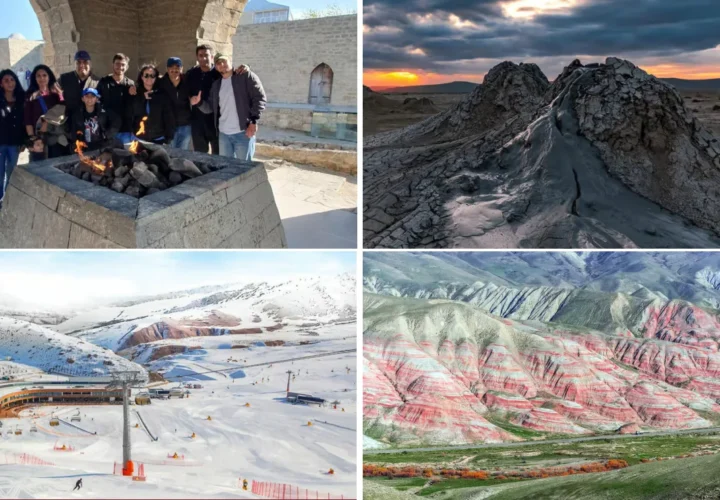
Trips to the rock art reserve are often paired geographically with Azerbaijan’s mud-volcano areas, but the two experiences are different. The rock art site is primarily archaeological and cultural; mud volcanoes are geological formations created by pressure, gases and fine sediments. Keeping that distinction clear makes each stop easier to appreciate on its own terms.
Access to individual mud-volcano fields can depend on road and ground conditions, so it is sensible to treat them as a separate planning item rather than an automatic extension of every Gobustan visit. The Explorer entry on Mud Volcanoes can provide the geological background, while this page remains focused on rock art and the protected cultural landscape.
When to visit and what to bring
Spring and autumn are comfortable choices for walking across exposed ground. The landscape has limited shade, and wind can be strong, so sun protection, water and secure walking shoes are useful in much of the year. After rain, unpaved areas elsewhere in the region can become difficult, although the maintained archaeological visitor zone is a distinct site from remote geological tracks.
A half-day is usually enough for the principal rock art area when travelling from Baku, while a fuller day allows a slower pace and an additional regional stop. Visitors interested in archaeology may want extra time for interpretation before entering the outdoor sections. Photography works well, but the strongest images usually include the surrounding terrain rather than concentrating only on tight details of carvings.
Combining Gobustan with nearby places
Gobustan fits naturally into an Azerbaijan itinerary that begins in Baku and then explores the Absheron region or the Greater Caucasus. Within the Phase 1 Explorer cluster, the most relevant connections are Mud Volcanoes for geology, Baku for historical context, and the Absheron Peninsula for another dry Caspian landscape shaped by long human use.
For travellers with limited time, the key is not to rush between unrelated stops. Spending enough time to read the landscape at Gobustan gives the engravings greater meaning, especially after seeing museum context. The result is a visit centered on evidence, place and continuity rather than a quick photo stop.
Explore with Alov Travel
Tours for this area
Continue from inspiration to a relevant Azerbaijan experience connected to this place.
Plan the next step
Turn this place into part of your Azerbaijan journey.
Browse relevant experiences or share your dates and priorities with our local team.